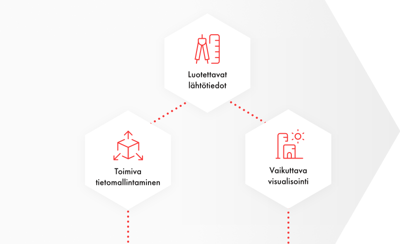
Weup air-map™

Tool for making building projects understandable


Weup air-map™ is a user interface made of high-resolution panoramic aerial photos. It works on browsers on all devices. The application allows a new way to navigate above the target area at the most suitable height for perception.

3D models of future buildings, traffic routes and area boundaries can be embedded in the aerial map with geographic accuracy. Images, text and videos can be linked with objects. Alternative plans can be compared, viewed in different directions and zoomed in. The user experience is easy and controlled.

Weup has proven to be an excellent tool for illustrating hard-to-understand projects. Professionals and laymen can easily communicate with a visually pleasing aerial view.

Use cases:

  • Source material for architecture competitions
  • Regional development and campus areas
  • Land use planning and zoning
  • Planning and documentation of building sites

Benefits:

  • Facilitates external and internal communication
  • Reduces resistance to change
  • Life-cycle thinking – upgradeable as the project progresses
  • Everyone understands the project easily

Ask for further information:

Ilkka Terho
Director, customer relations

Tel. +358 40 506 9133